ST ALBANS🇬🇧

Under WayOtherEnglish Channel
4.3 ktsSpeed
N/ACourse
10mDraught
Trip InformationAll times in UTC
Live Position & RouteLast updated: Loading...
BIRKENHEAD
🇬🇧GBBRK
UK Coast & AtlanticIrish Sea
ATD
Loading...
Loading...
>>>>>>>>>
BIRKENHEAD
🇬🇧GBBRK
UK Coast & AtlanticIrish Sea
ETA
Loading...
Loading...
Loading map...

Photo Gallery

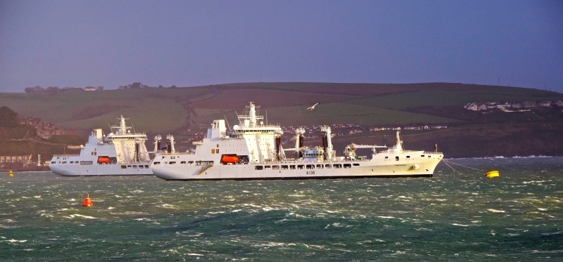
ST ALBANS MMSI 232002833
📸 John Durston

Specifications

Dimensions

LengthN/A
BreadthN/A
Max DraughtN/A

Capacity

Gross TonnageN/A
DeadweightN/A
TEUN/A

Performance

Max SpeedN/A
Avg SpeedN/A

Build Info

Year BuiltN/A
Home PortN/A

Description

Loading vessel information...

Identification

MMSI232002833
IMO8949721
Call SignGDAT
Flag State🇬🇧 United Kingdom (GB)

Current PositionEnglish Channel

Latitude50.590470° N
Longitude0.994570° W

Navigation Status

StatusConstrained by her draught
Speed4.3 kts
CourseN/A
HeadingN/A
DraughtN/A