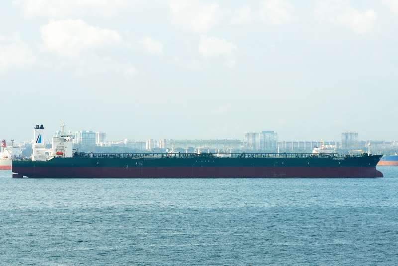
Description
Track Analytics
Identification
Current Position
Navigation Status
Frequently Asked Questions
Where is ANDROMEDA right now?
According to the latest AIS signal, ANDROMEDA is currently located at 7.1808°N / 76.5215°E. The vessel is moving at 15.0 knots. You can follow the live position on the tracking map above.
Where is ANDROMEDA sailing to?
ANDROMEDA is currently sailing to TERNEUZEN, with an estimated time of arrival of Fri, 07 Aug 2026 20:00:00 GMT. The vessel departed from LUOYUAN.
What kind of ship is ANDROMEDA?
ANDROMEDA is a tanker sailing under the flag of Malta. It is 333 meters long with a beam of 60.05 meters.
What is the MMSI and IMO number of ANDROMEDA?
The MMSI (Maritime Mobile Service Identity) of ANDROMEDA is 256568000. Its IMO number is 9352561. The vessel's call sign is 9HA3956.
How can I track ANDROMEDA live?
You can track ANDROMEDA in real time on Ships25 using AIS data. The tracking map shows the current position, historical route with playback, speed, heading and draught. Position data is updated continuously while the vessel is within AIS coverage.