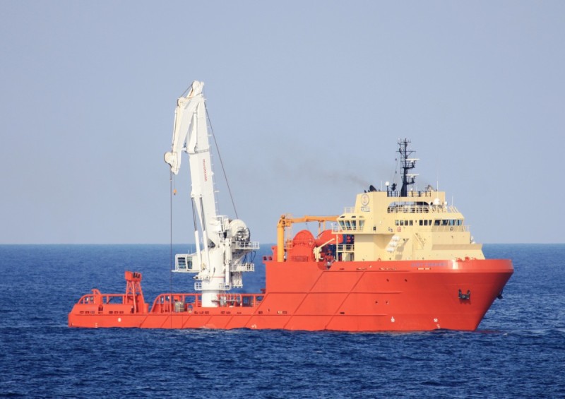
Beskrivelse
Sporanalyse
Identifikasjon
Nåværende posisjon
Navigasjonsstatus
Ofte stilte spørsmål
Hvor er KIRT CHOUEST akkurat nå?
Ifølge det siste AIS-signalet befinner KIRT CHOUEST seg for øyeblikket på 21.8597°S / 41.0200°W. Fartøyet er for øyeblikket i ro. Du kan følge posisjonen live på sporingskartet ovenfor.
Hvor seiler KIRT CHOUEST til?
KIRT CHOUEST seiler for øyeblikket til MACAE, med forventet ankomsttid Tue, 13 Oct 2026 06:00:00 GMT. Fartøyet avgikk fra PORTO DO ACU.
Hva slags skip er KIRT CHOUEST?
KIRT CHOUEST er et fartøy av typen slepebåt som seiler under flagget til XC. Det er 87.81 meter langt med en bredde på 20.12 meter og ble bygget i 2008.
Hva er MMSI- og IMO-nummeret til KIRT CHOUEST?
MMSI (Maritime Mobile Service Identity) til KIRT CHOUEST er 303266000. IMO-nummeret er 9423102. Fartøyets kallesignal er WDE6232.
Hvordan kan jeg spore KIRT CHOUEST live?
Du kan spore KIRT CHOUEST i sanntid på Ships25 ved hjelp av AIS-data. Sporingskartet viser nåværende posisjon, historisk rute med avspilling, fart, styrekurs og dypgang. Posisjonsdataene oppdateres kontinuerlig så lenge fartøyet er innenfor AIS-dekning.