CAPE DOUKATO🇲🇭

Under way using engineOther
12.5 ktsSpeed
N/ACourse
8.6mDraught
Trip InformationAll times in UTC
Live Position & RouteLast updated: Loading...
MONTOIR
🇫🇷FRMTX
UK Coast & AtlanticBiscay Bay
ATD
Loading...
Loading...
>>>>>>>>>
ISKENDERUN
🇹🇷TRISK
East Mediterranean
ETA
Loading...
Loading...
Loading map...

Photo Gallery

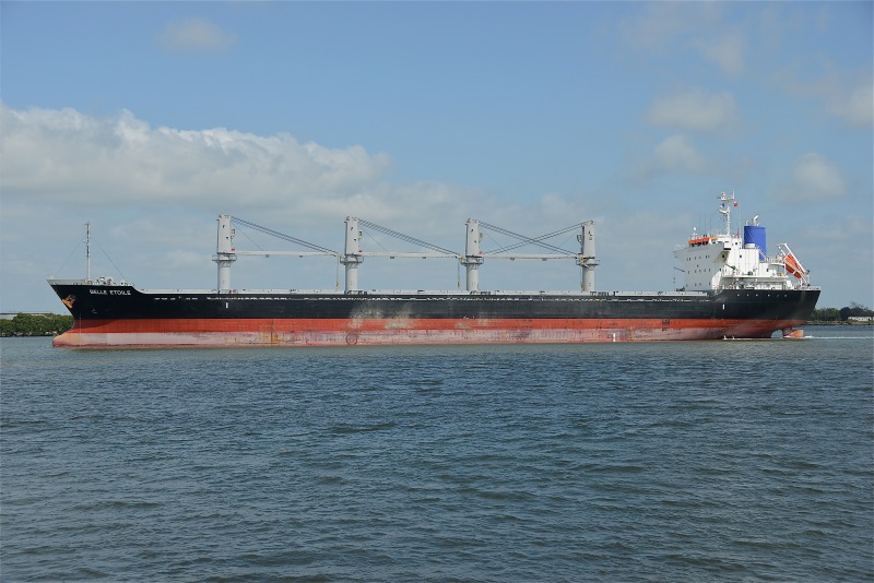
CAPE DOUKATO MMSI 538010376
📸 John Wilson

Specifications

Dimensions

Length169.37m
Breadth27.2m
Max Draught5.5m

Capacity

Gross Tonnage17027 GT
Deadweight28230 DWT
TEUN/A

Performance

Max Speed14.1 kn
Avg Speed10.9 kn

Build Info

Year Built2014
Home PortN/A

Description

Loading vessel information...

Track Analytics

Loading track data...

Identification

MMSI538010376
IMO9717254
Call SignV7A5959
Flag State🇲🇭 Marshall Islands (MH)

Current Position

Latitude36.676090° N
Longitude13.838660° E

Navigation Status

StatusUnder way using engine
Speed12.5 kts
CourseN/A
Heading107°
DraughtN/A

Port Terminals

MONTOIRDeparture Port

TGOTERMINAL DU GRAND OUEST MONTOIR
TERMINAL DU GRAND OUEST (TGO)
Quai de Montoir, 44550 Montoir-de-Bretagne, France
47.300000, -2.150000
Visit Website

ISKENDERUNDestination Port

ASSANASSAN PORT ISKENDERUN
ASSAN LIMAN ISLETMELERI A.S.
Iskenderun Organize Sanayi Bölgesi, Sariseki, 31200 Iskenderun, Turkey
36.685833, 36.200000
Visit Website
LIMAKLIMAKPORT ISKENDERUN
LIMAKPORT ISKENDERUN LIMAN ISL.
5 Temmuz Caddesi Sonu, 31200 Iskenderun, Turkey
36.595000, 36.190278
Visit Website

Frequently Asked Questions

Where is CAPE DOUKATO right now?

According to the latest AIS signal, CAPE DOUKATO is currently located at 36.6761°N / 13.8387°E. The vessel is moving at 12.5 knots. You can follow the live position on the tracking map above.

Where is CAPE DOUKATO sailing to?

CAPE DOUKATO is currently sailing to ISKENDERUN (Türkiye), with an estimated time of arrival of Mon, 10 Aug 2026 20:00:00 GMT. The vessel departed from MONTOIR.

What kind of ship is CAPE DOUKATO?

CAPE DOUKATO is a vessel sailing under the flag of Marshall Islands. It is 169.37 meters long with a beam of 27.2 meters and was built in 2014.

What is the MMSI and IMO number of CAPE DOUKATO?

The MMSI (Maritime Mobile Service Identity) of CAPE DOUKATO is 538010376. Its IMO number is 9717254. The vessel's call sign is V7A5959.

How can I track CAPE DOUKATO live?

You can track CAPE DOUKATO in real time on Ships25 using AIS data. The tracking map shows the current position, historical route with playback, speed, heading and draught. Position data is updated continuously while the vessel is within AIS coverage.